BGS Hosted Metadata
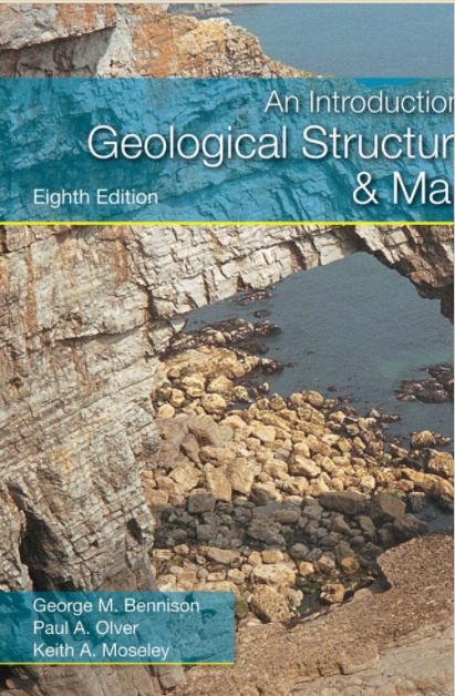
An introduction to geological structures and maps
An Introduction to Geological Structures and Maps is a concise and accessible textbook providing simple structural terminology and map problems which introduce geological structures. It is a perfect introduction to mapping for students of geology, engineering geology and civil engineering.
Each topic is explained and illustrated by figures, and exercises follow on successive maps. If students are unable to complete an exercise, they can read on to obtain more specific instructions on how theory may be used to solve the problem. An appendix at the end of the book provides the solutions.
This new, eighth edition contains simplified introductory matter to make the subject as easy to grasp as possible. Colour photographs illustrating geological structures bring the subject to life and a new map from the British Geological Survey illustrates a real area. There is more on outcrop patterns, which will help students to think in 3D, and on structures and the relationship of topography to geological structure. Cliff sections have been added to reinforce the concept of apparent dip. The section on planetary geology has been more closely tied to igneous geology to aid understanding of the connection between the two. Finally, a new map on economic geology has been added for the benefit of engineering students.
Website:
Simple
- Date (Creation)
- 2011-03-25
- Date (Publication)
- 2011-03-25
- Date (Revision)
- Edition
-
8th
- Citation identifier
-
https://www.mica-project.eu/
/
MICA_B2-7
MICA WP3 2017-09-25T10:33:00 Record extracted from Batch 2 spreadsheet
- Other citation details
-
No additional information provided about the dataset
- Purpose
-
Purpose for data generation is not known
- Status
- Completed
- Point of contact
-
Organisation name Individual name Electronic mail address Role NA
Resource provider
- Maintenance and update frequency
- Not planned
- dataCentre
-
-
MICA
-
-
MICA ontology (TemporalScheme)
-
-
Geological time
-
-
MICA ontology (DataScheme)
-
-
General descriptive information / Report / Other (Report)
-
- Keywords
-
-
Requirement for data generation: Voluntary
-
- Keywords
-
-
Method of data or information generation: General information - method not relevant or not stated
-
-
GEMET Concepts
-
-
Geology
-
-
GEMET Concepts
-
-
Minerals
-
-
GEMET Concepts
-
-
Sciences dealing with the composition, structure, origin of the Earth's rocks
-
-
MICA ontology (DomainScheme)
-
-
2D predictive mapping
-
-
MICA ontology (DomainScheme)
-
-
Preliminary studies
-
-
MICA ontology (DomainScheme)
-
-
Regional geology
-
-
MICA ontology (DomainScheme)
-
-
Remote sensing (including regional geophysics)
-
- Access constraints
- Other restrictions
- Use constraints
- Other restrictions
- Language
- English
- Topic category
-
- Geoscientific information
- Economy
- Description
-
No specific geographic coverage
- Geographic identifier
- Other group of countries (please provide more details)
- Hierarchy level
- Non geographic dataset
- Other
-
Individual item (e.g. a one-off academic paper or single website)
Conformance result
- Title
-
Data uncertainty
- Date
- Explanation
-
Are any uncertainty measures provided (e.g. standard errors, confidence intervals, etc.)?
- Pass
- No
Conformance result
- Title
-
Quality assurance procedures
- Date
- Explanation
-
Are quality assurance procedures described?
- Pass
- No
Conformance result
- Title
-
Information generation methods
- Date
- Explanation
-
Are data or information generation methods formally described?
- Pass
- No
Conformance result
- Title
-
Record review
- Date
- Other citation details
-
Reviewed by: British Geological Survey
- Explanation
-
Record validation
- Pass
- No
Conformance result
- Statement
-
Organisation source implies that information should be of good quality
Metadata
- File identifier
- 1b72632c-4ef1-4cc2-9792-8c54fba8ff65 XML
- Metadata language
- English
- Character set
- MD_CharacterSetCode_utf8
- Hierarchy level
- Non geographic dataset
- Date stamp
- 2024-11-07
- Metadata standard name
-
ISO19115
- Metadata standard version
-
2003/Cor.1:2006
- Metadata author
-
Organisation name Individual name Electronic mail address Role British Geological Survey
Point of contact