 BGS Hosted Metadata
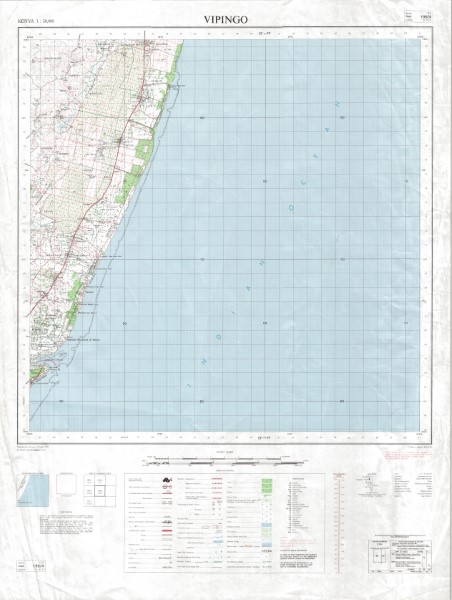
198 4 Vipingo v5
Y731 (1: 50 000 scale) Topographic Maps represents the main 1: 50 000 scale mapping covering large parts of Kenya. The maps illustrate the key topographic features both natural and man made.
There have been multiple versions of the maps published. Not all versions of the maps are held by the Geodata Centre. Those which are currently held (November 2018) are listed. Publishers OSD Government of the United Kingdom (Crown Copyright);
OSD(K) Government of the United Kingdom for the Government of Kenya;
OSD(T) Government of the United Kingdom for the Government of Tanzania;
OSD(U) Government of the United Kingdom; USD Department of Land and Surveys Uganda;
ING French National Geographic Institute for the Government of Kenya;
JICA Japan International Co-operation Agency for the Government of Kenya.
Simple
- Date (Publication)
- 1991
- Edition
-
5
- Presentation form
- Digital map
- Collective title
-
Y731 (1: 50 000 scale) Topographic Maps
- Status
- Completed
- Point of contact
-
Organisation name Individual name Electronic mail address Role Author Japan International Co-operation Agency for the Government of Kenya
Publisher Ministry of Petroleum and Mining (National Geodata Centre for Kenya)
Custodian Ministry of Petroleum and Mining (National Geodata Centre for Kenya)
Point of contact Owner
- Maintenance and update frequency
- Not planned
- Keywords
-
-
Topography
-
50k
-
- Use limitation
-
Internal Only
- Access constraints
- Other restrictions
- Other constraints
-
Internal Only
- Other constraints
- No specifed conditions apply
- Denominator
- 50000
- Language
- English
- Topic category
-
- Imagery base maps earth cover
- Description
-
Vipingo
- Supplemental Information
-
{"Translation Needs":"",
"Number of pages (Hardcopy)":"",
"Archive Location (Hardcopy)":"",
"Location in Archive (Hardcopy)":"",
"Risk and Impact":"",
"Vital asset to the organisation?":"",
"Current Asset Volume":"3.032176",
"Digitalizing status":"Scanned & Georeferenced",
"Scanned Date":"",
"Name of Staff Scanning":"",
"Digital Asset location":" http://gdcs1.gdc.com/SpatialData/Raster/Topographic/Scale_1_50000_Series_Y731/198_4_Vipingo_v5.jpg",
"Retention period":"",
"Shared with":"",
"Comments":""}
- Distribution format
-
Name Version .jpg
- OnLine resource
-
Protocol Linkage Name http://gdcs1.gdc.com/SpatialData/Raster/Topographic/Scale_1_50000_Series_Y731/198_4_Vipingo_v5.jpg 198 4 Vipingo v5
- Statement
-
Multple versions of the map sheets in this series have been published to reflect updates to infracstructure (road/rail networks) and other key topographic features. All versions of all maps are not currently (November 2018) held by the Geodata Centre.
Metadata
- File identifier
- 841b63ee-0a37-4148-b7f7-ac13bf5a4116 XML
- Metadata language
- English
- Parent identifier
-
Y731 (1: 50 000 scale) Topographic Maps
Y731 (1: 50 000 scale) Topographic Maps
- Hierarchy level
- Dataset
- Date stamp
- 2019-10-22
- Metadata standard name
-
National Geodata Centre for Kenya Schema
- Metadata standard version
-
1.0
- Metadata author
-
Organisation name Individual name Electronic mail address Role Ministry of Petroleum and Mining (National Geodata Centre for Kenya)
enquiries
Point of contact
