 BGS Hosted Metadata
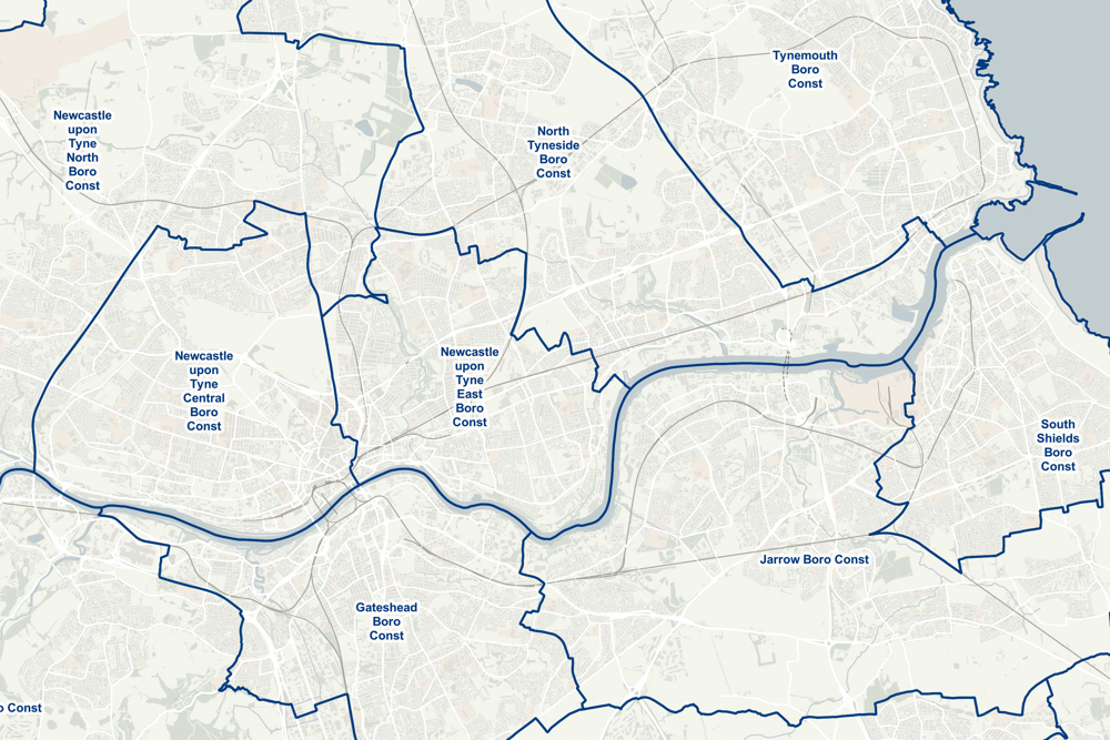
Boundary-Line
From Parliamentary constituencies to council wards, Boundary-Line™ maps every administrative boundary in detail for you. And what's more, it's completely free to download and use.
Bring statistics to life
For academics or policy-makers, Boundary-Line brings the statistics in your reports to life. It lets you show differences between regions or councils using easy-to-read shaded maps.
A robust framework
Monitoring outcomes by area is key for public bodies. Boundary-Line gives you a robust analytical framework to ensure the right communities get the right resources.
Individual properties
When you're consulting on updating boundaries to take account of population change, Boundary-Line lets you show on a map where the line's being drawn, right down to the level of individual properties.
Simple
- Date (Publication)
- 1996-04-01
- Date (Revision)
- 2020-10-15
- Citation identifier
- https://os.uk / Boundary-Line
- Point of contact
-
Organisation name Individual name Electronic mail address Role Ordnance Survey
Publisher
- Maintenance and update frequency
- Biannually
- Date of next update
- 2021-05-18
- Update scope
- Dataset
- Keywords
-
-
GEMET - Concepts, version 2.4
-
-
county
-
administrative boundary
-
- Use constraints
- Other restrictions
- Other constraints
- Open Government Licence
- Other constraints
-
Please acknowledge the copyright and the source of the data by including the following attribution statement:
Contains OS data © Crown copyright and database right 2020
- Access constraints
- Other restrictions
- Other constraints
- no limitations on access
- Spatial representation type
- Vector
- Denominator
- 10000
- Language
- English
- Character set
- UTF8
- Topic category
-
- Boundaries
- Geographic identifier
- Great Britain
))
- End date
- 2020-04-30
- Reference system identifier
- http://www.opengis.net/def/crs/EPSG/0/27700
- Distribution format
-
Name Version GeoPackage
1
GML
3.2.1
Shapefile
1.0
MapInfo® TAB
- OnLine resource
-
Protocol Linkage Name https://os.uk/business-government/products/boundaryline Product description
https://os.uk/election-maps/gb/ Election maps - browsable web map
https://api.os.uk/downloads/v1/products/BoundaryLine/downloads?area=GB&format=GeoPackage&redirect GeoPackage
https://api.os.uk/downloads/v1/products/BoundaryLine/downloads?area=GB&format=GML&subformat=3&redirect GML
https://api.os.uk/downloads/v1/products/BoundaryLine/downloads?area=GB&format=ESRI%C2%AE+Shapefile&redirect Shapefile
https://api.os.uk/downloads/v1/products/BoundaryLine/downloads?area=GB&format=MapInfo%C2%AE+TAB&redirect MapInfo TAB
http://data.os.uk/datasets/boundary-line Linked data entry point
WWW:LINK-1.0-http--link
https://osmetadata.astuntechnology.com/geonetwork/srv/api/records/8a61ba36-15dc-4a48-b14e-76c2bf36b157 OS Election maps
- Hierarchy level
- Dataset
Conformance result
- Date (Publication)
- 2010-12-08
- Explanation
-
GML download is INSPIRE compliant, except for being in British National Grid
- Pass
- Yes
Conformance result
- Date (Revision)
- 2019-07-15
- Explanation
-
Conforms to OS specification
- Pass
- Yes
- Statement
-
Captured and maintained solely from legal boundary changes
Metadata
- File identifier
- ae0e855d-f0a2-438e-855c-6ef5400f4ef3 XML
- Metadata language
- English
- Parent identifier
-
Spatial Data Explorer (WebGIS)
863bb531-4c51-4a3f-858c-c592e8ba5bf7
- Hierarchy level
- Dataset
- Date stamp
- 2024-06-11T14:36:00.741469Z
- Metadata standard name
-
ISO 19115:2003/19139
- Metadata standard version
-
1.0
- Metadata author
-
Organisation name Individual name Electronic mail address Role Ordnance Survey
Point of contact
)))